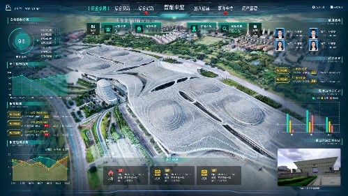
Remote sensing survey of greening
Name: Greening remote sensing survey
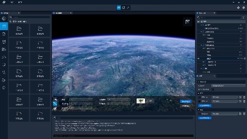
Brief introduction: Based on the remote sensing image data of aerospace images, accurately interpreting and positioning the existing park green spaces, green buffers, square lands, attached green spaces, and regional green spaces within the urban built-up areas of the region; Accurately extracting element data of their current situations; Based on the preliminary data, using planning data to correct the land usages and boundaries, and forming data that meets the rules; After correction, conducting field reviews to determine the current construction situation, and linking the ledger data to perfect the verified and compliant data attribute content. Using indicators to analyze and calculate indicator models.
 Your current location:
home
>
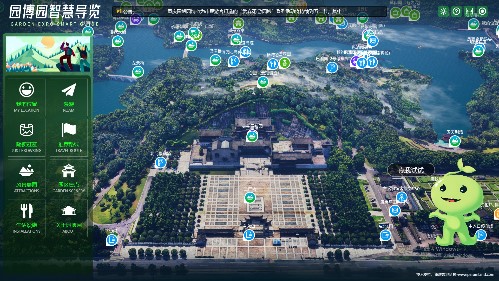
Exhibition Hall Online
>
Venue Layout
>
N5
>
Paramland Technology Co., Ltd.
Your current location:
home
>
Exhibition Hall Online
>
Venue Layout
>
N5
>
Paramland Technology Co., Ltd.